Esta web utiliza cookies propias y de terceros que nos permiten optimizar tu experiencia en el sitio web, evaluar su rendimiento, generar estadísticas de uso y mejorar y añadir nuevas funcionalidades. Mediante el análisis de tus hábitos de navegación podemos mostrar contenidos más relevantes y medir las interacciones con la web.
Puede obtener más información aquí.
Una cookie es un fichero que se descarga en tu ordenador al acceder a determinadas páginas web.Las cookies permiten a una página web, entre otras cosas, almacenar y recuperar información sobre los hábitos de navegación de un usuario o de su equipo, gestionar el acceso de usuarios a zonas restringidas de la web, etc.Tipo de cookies utiliza esta página web:
Este tipo de cookies permiten al usuario la navegación a través de una página web, plataforma o aplicación y la utilización de las diferentes opciones o servicios que en ella existan como, por ejemplo, controlar el tráfico y la comunicación de datos, identificar la sesión, acceder a partes de acceso restringido, seleccionar el idioma, o compartir contenidos a través de redes sociales.
| Nombre | Descripcion | Duración | Habilitado |
|---|---|---|---|
| ID de tu sesión. Te identifica en este navegador y nos permite gestionar tus cookies o almacenar tu cesta de la compra. | 8760 horas | ||
| Indica qué cookies has aceptado. | 8760 horas | ||
| Una cookie PHPSESSID es una cookie de sesión que se utiliza para identificar la sesión de un usuario en un sitio web. | 8760 horas |
Son aquéllas que posibilitan el seguimiento y análisis del comportamiento de los usuarios en nuestra página. La información recogida se utiliza para la medición de la actividad de los usuarios en la web y la elaboración de perfiles de navegación de los usuarios, con la finalidad de mejorar la web, así como los productos y servicios ofertados.
| Nombre | Descripcion | Duración | Habilitado |
|---|---|---|---|
| Es un servicio de analítica web que utiliza cookies de análisis. | 8760 horas |
Estas cookies pueden ser establecidas a través de nuestro sitio por nuestros socios publicitarios. Pueden ser utilizadas por esas empresas para crear un perfil de sus intereses y mostrarle anuncios relevantes en otros sitios. No almacenan directamente información personal, sino que se basan en la identificación única de su navegador y dispositivo de Internet. Si no permite utilizar estas cookies, verá menos publicidad dirigida.
| Nombre | Descripcion | Duración | Habilitado |
|---|
O que são os cookies?
Um cookie é um arquivo descarregado no seu computador para aceder certos sites. Os cookies permitem que um site, entre outras coisas, possa armazenar e recuperar informações sobre os hábitos de navegação de um/a usuário/a ou do seu computador, gerenciar o acesso do/a usuário/a às áreas restritas do site etc.
Que tipo de cookies utiliza este site?
Cookies de análise
São aqueles que permitem a monitorização e análise do comportamento do/a usuário/a no nosso site. A informação recolhida é usada para medir a atividade dos/as usuários/as no site e para criar perfis de navegação do/a usuário/a, a fim de melhorar o site e os produtos e serviços oferecidos.
Cookies técnicos
Permitem ao/à usuário/a navegar através dum site, plataforma ou aplicação e o uso de diferentes opções ou serviços que existem, como por exemplo o controlo do tráfego e comunicação de dados, identificar a sessão, aceder a áreas de acesso restrito, ou compartilhar conteúdos através de redes sociais.
Cookies de personalização
São aqueles que permitem adaptar a navegação no site com as suas preferências, como o idioma, navegador utilizado etc.
| Nome | Própria / Terceiros | Duração | Descrição | Proprietário |
| gat | Terceiros | 1 minuto | É usado para limitar a porcentagem de solicitações. | Google Analytics |
| _ga | Terceiros | 2 anos | É usado para distinguir os usuários. | Google Analytics |
| _gid | Terceiros | 24 horas | É usado para distinguir os usuários. | Google Analytics |
| PHPSESSID | Própria | Sesion | Cookie de sessão, desaparece quando a web é fechada. | Arnoia |
| COOKIE_CONSENT | Própria | 1 mês | Cookie de personalização. | Arnoia |
| SESS_ID | Própria | 10 dias | Cookie de sessão. | Arnoia |
Quem usa os cookies?
Os cookies utilizados neste site são usados pelo responsável legal do mesmo e pelos seguintes serviços ou fornecedores de serviços:
- Google Analytics: é um serviço de análise da web que usa cookies de análise. Voçê pode verificar a política de privacidade deste serviço no site https://www.google.com/intl/pt-PT/policies/
Como posso desativar ou excluir os cookies?
Voçê pode permitir, bloquear ou apagar os cookies instalados no seu computador configurando as opções do navegador instalado. As seguintes ligações fornecem informações adicionais sobre as opções de configuração dos cookies nos distintos navegadores:
– Internet Explorer: https://support.microsoft.com/pt-pt/help/278835/how-to-delete-cookie-files-in-internet-explorer
– Google Chrome: https://support.google.com/chrome/answer/95647?hl=pt
– Firefox: https://support.mozilla.org/t5/Cookies-and-cache/Ativar-e-desativar-cookies-que-os-websites-utilizam-para/ta-p/14289
– Safari: https://support.apple.com/kb/PH21411?locale=pt_PT
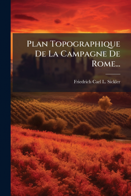
Plan Topographique De La Campagne De Rome... presents a detailed topographical map of the Roman countryside. Authored by Friedrich Carl L. Sickler, this historical document offers a unique glimpse into the landscape surrounding Rome. The detailed map showcases the region?s geographical features and is invaluable for those studying the historical topography and urban development around Rome. This work provides insights into the historical layout and land use of the region, and is an essential resource for historians, archaeologists, and anyone interested in the historical geography of Italy.This work has been selected by scholars as being culturally important, and is part of the knowledge base of civilization as we know it. This work was reproduced from the original artifact, and remains as true to the original work as possible. Therefore, you will see the original copyright references, library stamps (as most of these works have been housed in our most important libraries around the world), and other notations in the work.This work is in the public domain in the United States of America, and possibly other nations. Within the United States, you may freely copy and distribute this work, as no entity (individual or corporate) has a copyright on the body of the work.As a reproduction of a historical artifact, this work may contain missing or blurred pages, poor pictures, errant marks, etc. Scholars believe, and we concur, that this work is important enough to be preserved, reproduced, and made generally available to the public. We appreciate your support of the preservation process, and thank you for being an important part of keeping this knowledge alive and relevant.